February 2022
In one of my favorite books, Sub Par Parks, a collection of visitor complaints to America’s National Parks are chronicled, and one of my absolute favorites has to be Bryce Canyon. One visitor lamented that the park was “too orange, too spiky.” This actually is true, Bryce canyon is as advertised, so if you’re not into orange, or spiky, leave now.

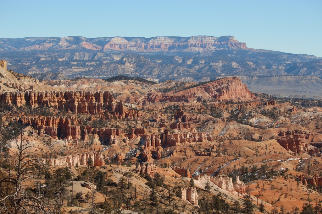
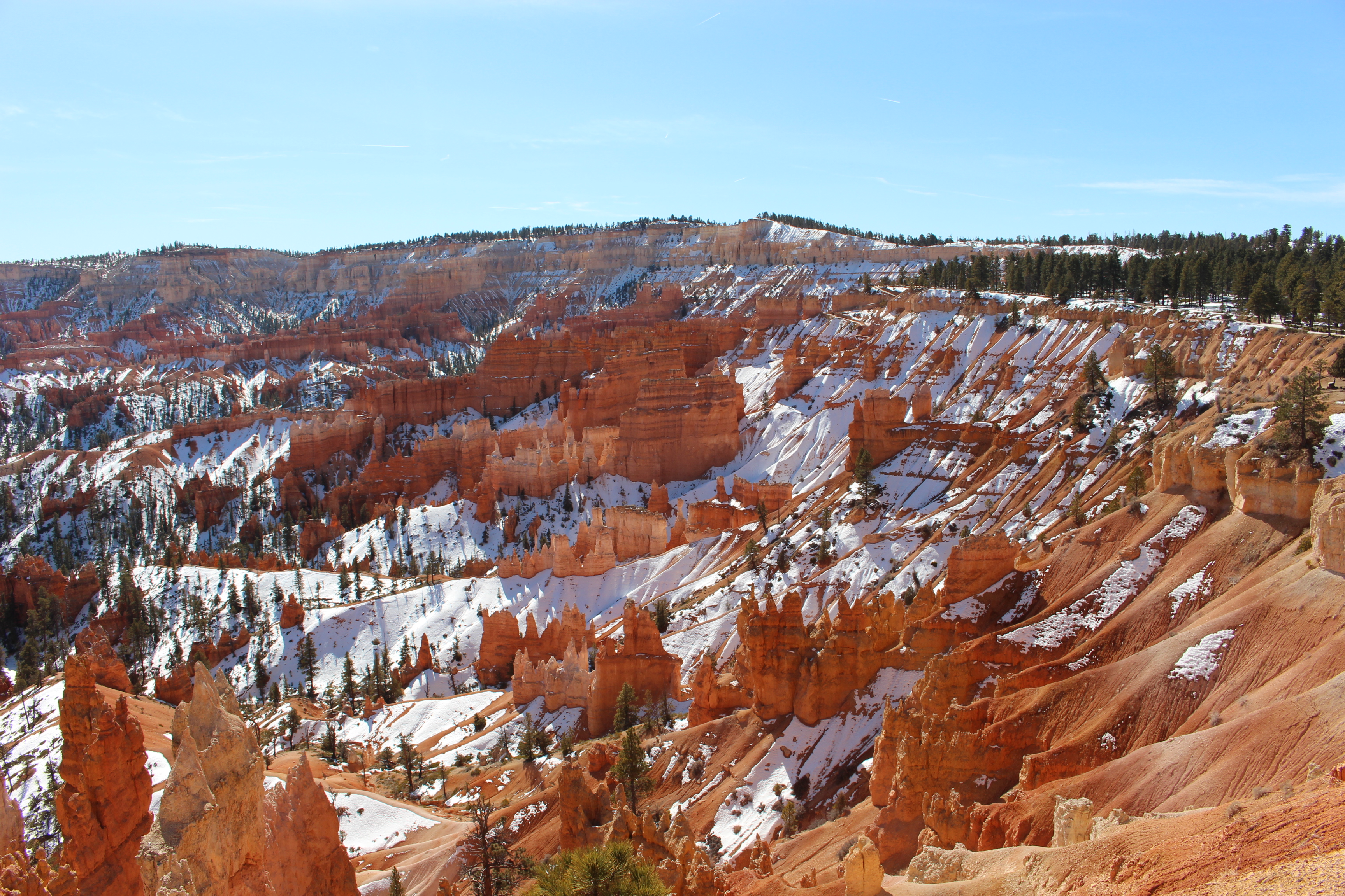
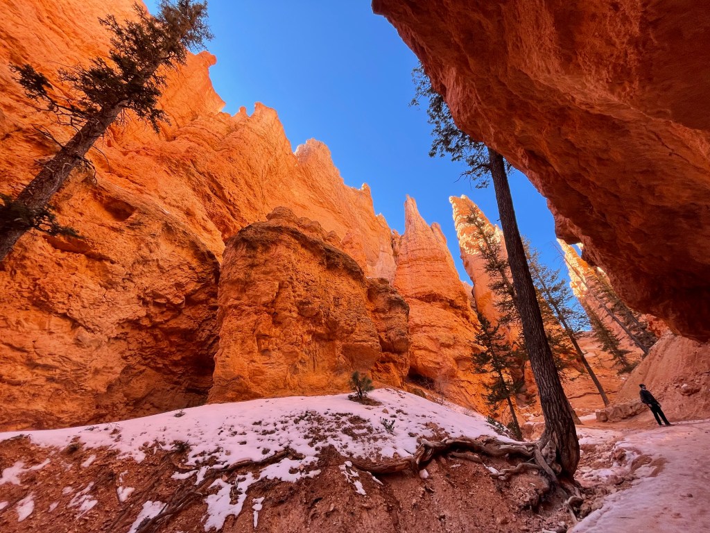
Bryce Canyon was designated a National Park in 1928. The park is located in Utah, and is a fantastic collection of rock formations in various amphitheaters surrounded by a ridge that is 8000-9000 ft in elevation. You can hike around the ridge, and you can hike down into the valleys.
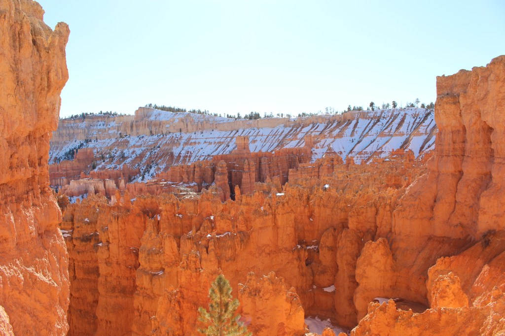
<— Looking out from the rim trail
Visiting in February, it was fairly cold in the 30’s and we were lucky enough to have snow on the ground. If you go this time of the year, spikes and snowshoes are a must, based on the amount of snow you might find. The park is also fairly quiet this time of the year, with far less visitors than the summer months.


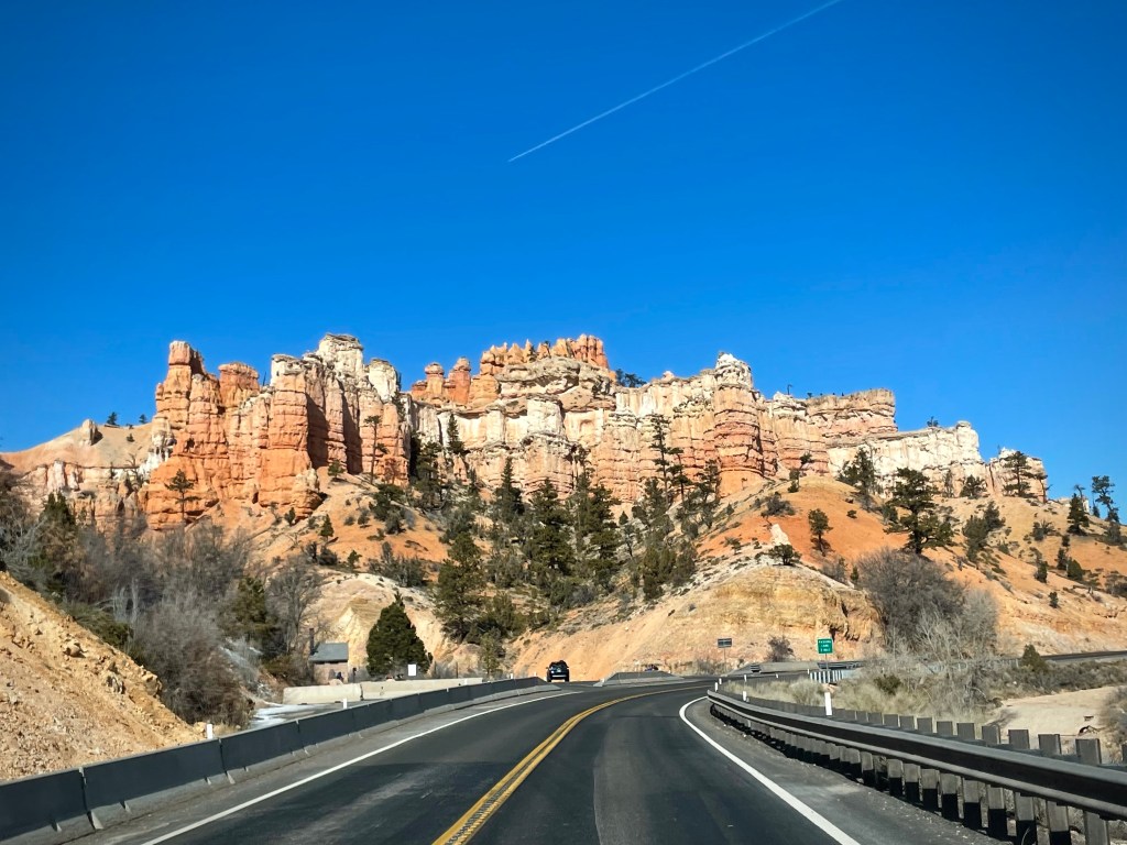
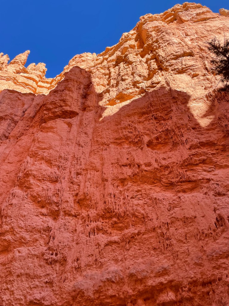
The signature rock formations of this area are known as hoodoos, and they are built over time largely by ice and rain sculpting the rocks. When water seeps into the rocks and the temperatures dip below freezing, the water freezes, expands, and breaks the rock apart, making the formations we see. In addition, the limestone rocks contain calcium carbonate, which dissolves when the slightly acidic rainwater touches the rock, resulting in further weathering. You can see similar erosion and unique rock formations in Croatia and Slovenia. However, Bryce Canyon National Park has the greatest concentration of hoodoos found anywhere on Earth. The color is largely related to different sediments over time and the presence of iron in the limestone rocks, making for red, pink, and yes, orange rocks. OK geek out geology time over. I did talk to one park ranger who explained the Native American lore and legend of the hoodoos- according to the local Paiute lore, the hoodoos were “Evil Legend People” who, due to some grievance, were turned to stone by the all-powerful Coyote spirit. This is why the hoodoos appear in groups, rows, as the people were frozen where they stood. There is a long history of people living amongst the hoodoos, with artifacts found dating back between 200 and 700 A.D.

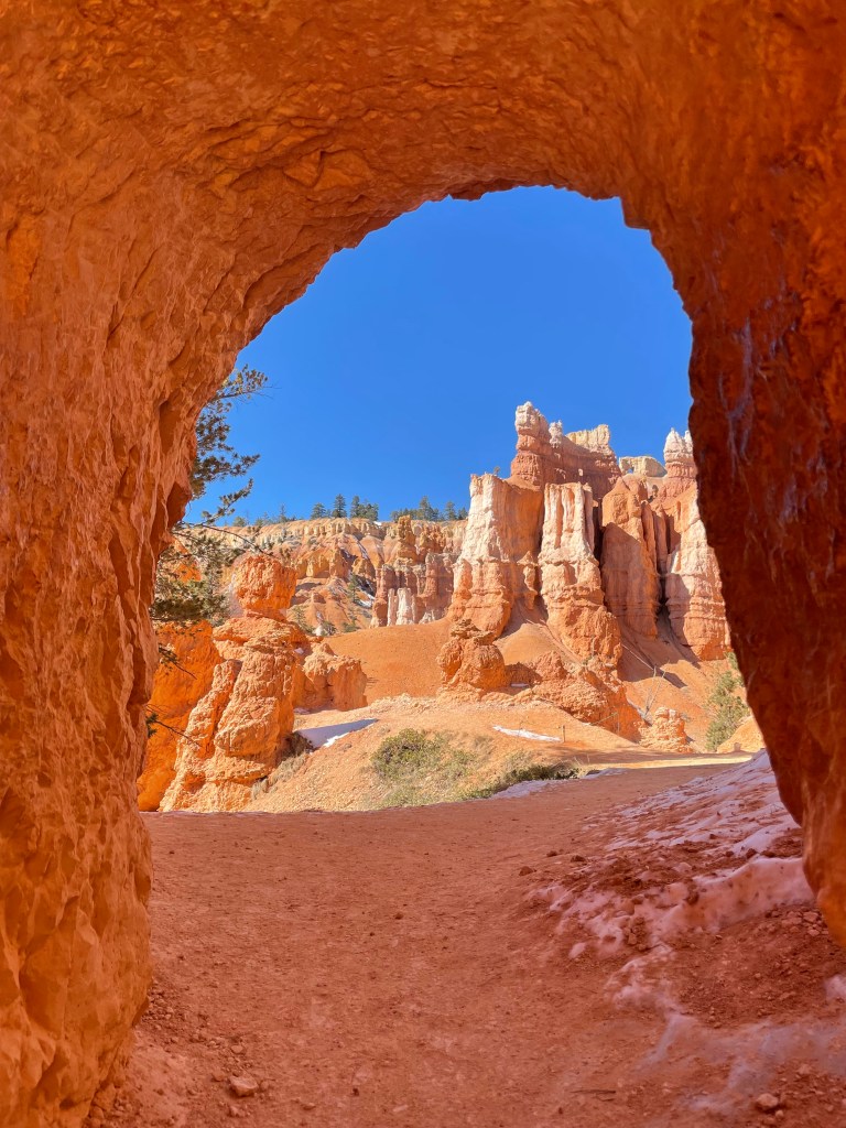
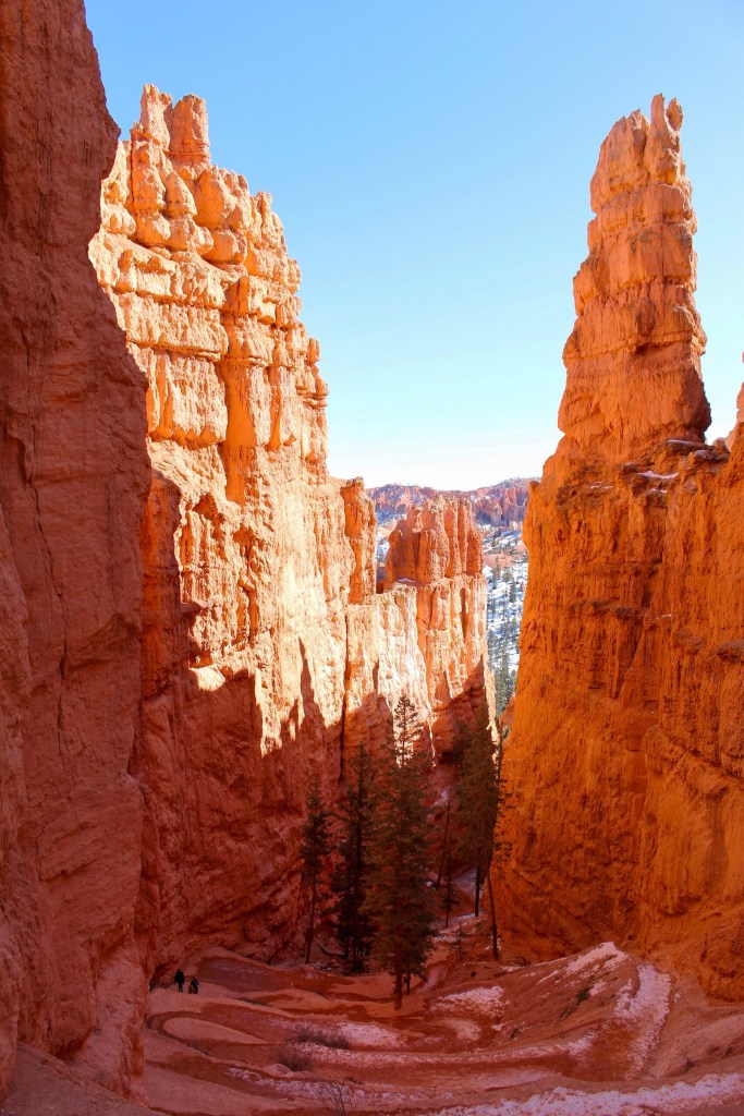
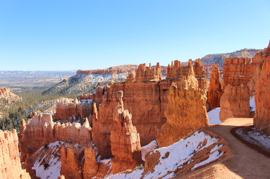
We started at Sunset Point, there is a parking lot right here, and if you aren’t up for a long hike, it’s a flat 0.5 mile walk one way from Sunset Point to Sunrise Point. There are great vistas, views of the hoodoos, and you don’t need spikes or snowshoes as the parking lot and sidewalk is maintained. We ended up doing the Queen’s Trail, down into the hoodoos, and also completed the Navajo Trail Loop. This allowed us to see the some of the most iconic formations, including Queen Victoria (yes, a hoodoo that looks like her, I don’t see it…), Thor’s Hammer, Two Bridges, and Wall Street. The whole trip took about 6-7 hours. Remember if you go in winter to bring spikes and no matter what time you go, bring water, food, and appropriate clothing, gear. It’s a moderate strenuous hike, just remember that the rim is 8,000-9,000 ft elevation, and if you hike down into the trails, what goes down, must come up.
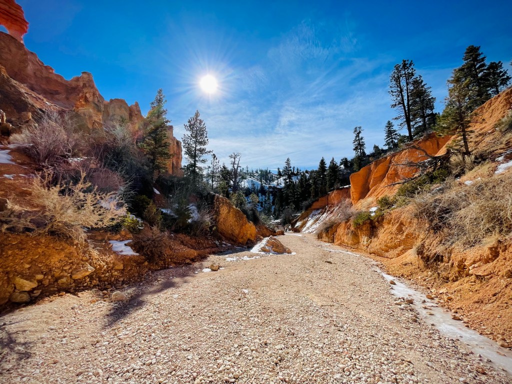
We also did visit mossy cave, not located within the main park but a bit down the road, with some smaller formations, and a waterfall, but we didn’t actually get to see mossy cave because there was a lot of ice, and not following my own advice, I left the spikes in the car. It’s about an hour of a hike, and a nice stop. (Lot and riverbed in Mossy Cave area).
The park was incredible, and of course, the photos do not do this place justice.


Thor’s Hammer


Leave a comment